Invest 90L forms in the W Caribbean....

BiltmoreCANE

Freshman
Joined
Nov 3, 2011
Messages
1,149
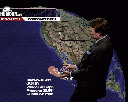
All global models and ensembles bring this to the N Gulf coast by the weekend with varying degrees of strength. Hurricane hunters scheduled to fly recon tomorrow if necessary. Still early and a lot of variables to hash out but keep your eyes on this system.


Sent from my iPhone using Tapatalk
 
Advertisement
We've been keeping an eye on it here from the NWS office. It's worth noting that it's much too early to assume anything. If your concern is the game, very few model runs bring tropical storm winds to tallahassee. The operational 12z Euro run doesn't have any landfall until monday anyway. The american model hints closer to a Louisiana threat.

For now, we'll stay vigilant and see what happens over the next 48 hours.
 
**** Dan since when did you become Jim Cantore??? Holy **** bro you have a career in meterology if radio doesn't work out.
 
Advertisement
We've been keeping an eye on it here from the NWS office. It's worth noting that it's much too early to assume anything. If your concern is the game, very few model runs bring tropical storm winds to tallahassee. The operational 12z Euro run doesn't have any landfall until monday anyway. The american model hints closer to a Louisiana threat.

For now, we'll stay vigilant and see what happens over the next 48 hours.

What's the piece of **** GFS saying?

The american model is the GFS, latest run with a tropical storm in Louisiana on sunday. Can't stress enough how early this is. Things will change throughout the week, it could potentially not even develop into a tropical cyclone in the first place.
 
[video=youtube;IYuUmRxGaaw]https://www.youtube.com/watch?v=IYuUmRxGaaw[/video]
 
What does the Euro model show? The Euro model seems to the the most accurate one this season.
 
Advertisement
We've been keeping an eye on it here from the NWS office. It's worth noting that it's much too early to assume anything. If your concern is the game, very few model runs bring tropical storm winds to tallahassee. The operational 12z Euro run doesn't have any landfall until monday anyway. The american model hints closer to a Louisiana threat.

For now, we'll stay vigilant and see what happens over the next 48 hours.

Thanks for the info. Is the ECMWF the Euro model? It has it hitting Panama City on Sunday.
 
Would totally agree with Dan, it's way to early to assume anything. Models shift & flip flop quite a bit. They're used for guidance. Don't focus on one run but run after run and so on for trends. My main concern is with all the tropical activity this year we may see some overreaction.


Sent from my iPhone using Tapatalk
 
OP:

stroke.gif
 
Advertisement
Advertisement
We've been keeping an eye on it here from the NWS office. It's worth noting that it's much too early to assume anything. If your concern is the game, very few model runs bring tropical storm winds to tallahassee. The operational 12z Euro run doesn't have any landfall until monday anyway. The american model hints closer to a Louisiana threat.

For now, we'll stay vigilant and see what happens over the next 48 hours.

What's the piece of **** GFS saying?

Love me some red, white and blue - but the GFS is trash. Euro model all the way.

https://www.tropicaltidbits.com/analysis/models/?model=ecmwf
 
All this **** is doing is giving the home insurance companies a reason to jack up the premiums. Homeowners beware, it's comin'.
 
We've been keeping an eye on it here from the NWS office. It's worth noting that it's much too early to assume anything. If your concern is the game, very few model runs bring tropical storm winds to tallahassee. The operational 12z Euro run doesn't have any landfall until monday anyway. The american model hints closer to a Louisiana threat.

For now, we'll stay vigilant and see what happens over the next 48 hours.

Thanks for the info. Is the ECMWF the Euro model? It has it hitting Panama City on Sunday.

Yes, ECMWF stands for European centre for medium range weather forecasts. I'd like to remind you all that this tropical disturbance is just crappy weather near nicaragua right now. Way too soon to be predicting a "hit" on Panama City. IF it develops, we'll know more about a possible trajectory on thursday.
 
Advertisement
Back
Top